
Today was an “almost never happened” type day. First we had planned on moving a little further north but with the tire thing yesterday I was still doing some checking to figure out the problem. Answer= the extension on the valve stem that I use to get them out of the wheel covers, every one has to that has shinny wheel covers,was the leak. I had replaced the one on the right front last fall because the old one had a bent dill-valve. Well the new one was supposed to be for heavy trucks but it sprung a leak because it would not tighten down anymore and had a “wobble” at the screw joint. Anyway it leaks. I gave up, took it off, put the tire monitor device on the original stem and put the “shinny” wheel cover back on. That means to air it up again I will have to pull the wheel cover to eve get to the monitor device, or a cap, or even the valve stem. I have had it aired up a full day now and no loss when the extension is out. One less problem but another addition to the big “fix-it” list if I figure to check and air that tire with out nearly taking the tire off.
Once I got that going, we decided to stay one more day rather than move up for one day and then move again on Thursday. It is just pretty nice here along the river. Unfortunately, we had to move anyway, over two spots. It is almost the same as moving across the county. We moved the two spots but had to break every thing down, get the sat dish out of the way, etc. In the new spot, about 35 feet south, I got nearly everything set up ok… but the sat dish. I have a new tri-pod that makes it pretty easy if I get the angles and direction all figures out first. Last time (two days ago) I had it set in 15 minutes. Today in just moving I struggled with it , just could not get a strong signal and I was sure I was on the right direction and the angles should not have changed? I even got some help from a neighbor , that was not totally helpful. He kept saying it needed to be pointed more east like his. I went and looked and checked his angles and even though to him it looked more east it was not and it was a single LNB dish not a triple. From my recollection the triple takes a bit different aim than a the single and I struggled with that a couple of years ago when I put in the wrong type dish in the setup from the receiver… I fought that one for over an hour before I figured I had the wrong type dish. Anyway, I got this one after I moved it back about 15 feet. Seems as though that big tree that I was shooting over before with no problem was not directly in my path. Once I moved back, set the direction pointer, leveled the tri-pod and put the dish on – boom it was on with only a small adjust. ok…
I get back inside and said, I am done lets go… well we didn’t go and finally when “WE” started looking at the maps to figure out where, I said why not go get a new map as ours is about 20 years old and I know the roads have changed. I figured we would leave from the store with the map and be gone… by then it was 11:30AM… I figured wrong. “WE” had figured to get it and come back to the motorhome and eat lunch and then read the map and pick a spot… the first spot earlier had been Platoro… I said it would be at least a 6 hour day if not 8 to get down there from where we are and back… so that was out… Our big decision was to just make a loop up toward Summitville and back but not go all the way to Summitville. That to me looked like at least a 4 hour trip, if we had any small stops for things to see. Here is the trip route:

Actually the road was good and it could be done in a car and maybe in 3 hours or so but we did have some stops. We checked out all the camp grounds on the Beaver Creek road. They are pretty nice but not many would accommodate a mid sized motorhome. I claim ours is midsized as we are only 35 ft. and most are 38 and up. We found that there was even a kids camp up there at the first turn but didn’t go up to check it out. Next was the outlet from the Beaver Creek dam.

There were numerous little falls and the water was making a good big or noise coming on down the canyon. Above that we took a picture back toward the lake and noticed that there were few fisherman but over a dozen trucks with trailers parked there. The 4wheel ATV is the big thing now as it will go more places than a jeep so all the “big-shots” have $6 to $10000 ATV’s. It looks like a great idea but all that we saw coming down were wearing goggles, slickers (as it came a small rain further up, and the dust was horrible. We just rolled up the windows.
The reason we stopped here was this set of stairs that appeared to go to NOWHERE!


I had a picture of the wife headed toward the stairs but figured that was not something I wanted to get beat up about here.
When we got over there and read the really faded sign it turns out this is the trail to the “biggest fir tree in the Rio Grand Forrest”.
T: Big Tree Trail D:From South Fork travel 1 mile west on Highway 160; then go 6 miles on the Beaver Creek Road to the Trailhead. The Trailhead is just past Cross Creek Campground. A short hike, 1/2 mile, will take you to the largest tree ever found on the Rio Grande National Forest. Huge Douglas Fir is over 66 inches in diameter or 207 inches around the tree. Taken from Silver Threaders Org – trails web page
There is a campground just below this and the Forest Service page describes the details. The details on the tree are that it is 66” across. In this part of the world that is huge for a Douglas Fir. The link I put in for the tree is about a ski trail, well we weren’t skiing in and beside that it is rated difficult for skiing… you can tell by the stair that it was pretty much up and there were some “less” up s pots on the trail and the trail said it was 1/3 mile, but from the way we felt at the top it had to be a typo… and more like 3 miles up. Sure glad we did this now, in a few years I am sure I will have difficulty just making the steps and never mind the 13 mile trail… But once you get there the tree is HUGE… totally unbelievable and amazing…


That’s not so big?

My honey is 5+ feet tall and standing at least 6 feet in front of that tree.
Oh and she was still winded at this point from the 13 mile trail that said it was only 1/3 mile?
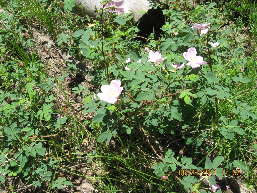
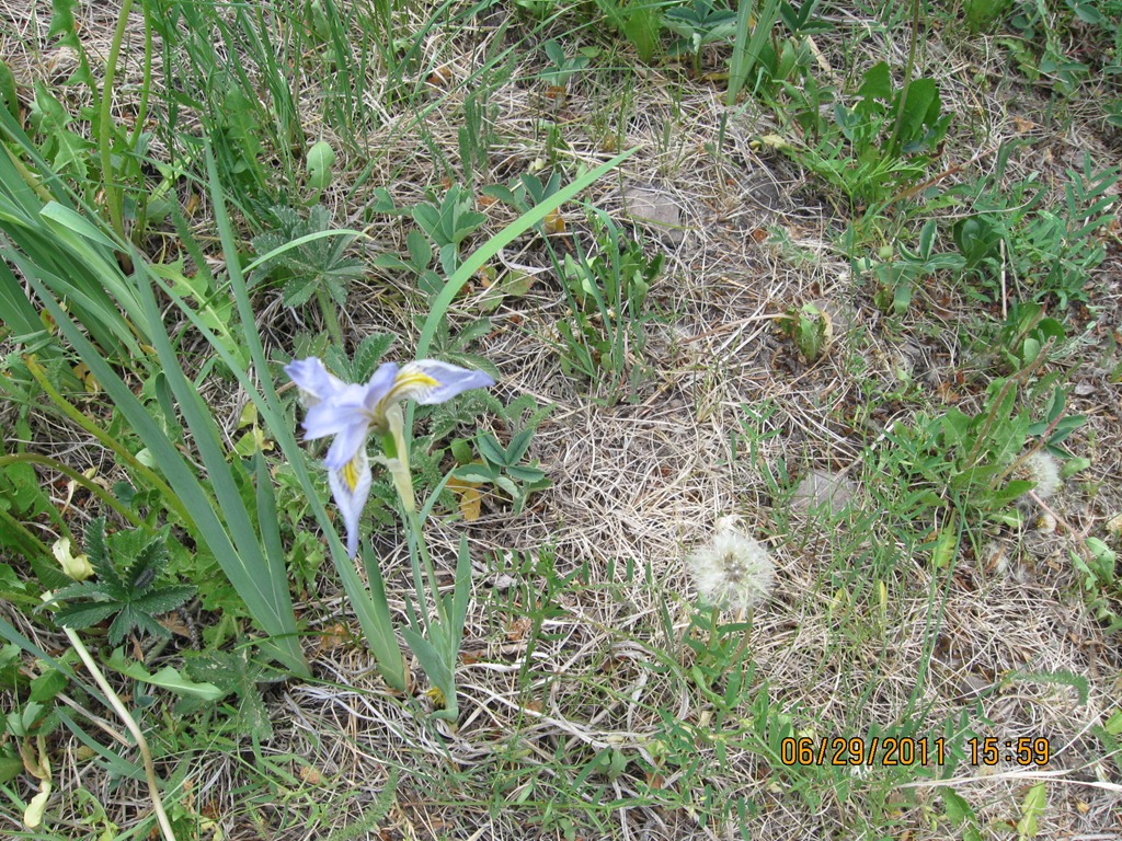
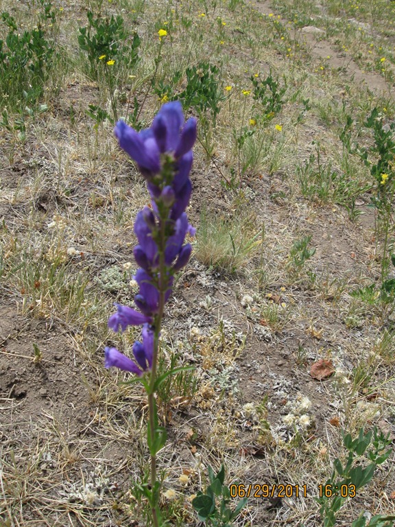
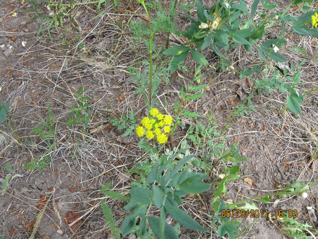
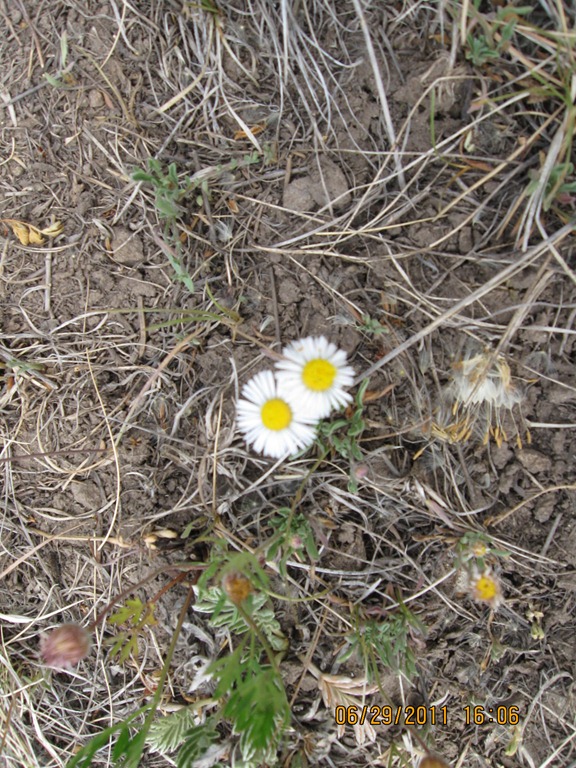
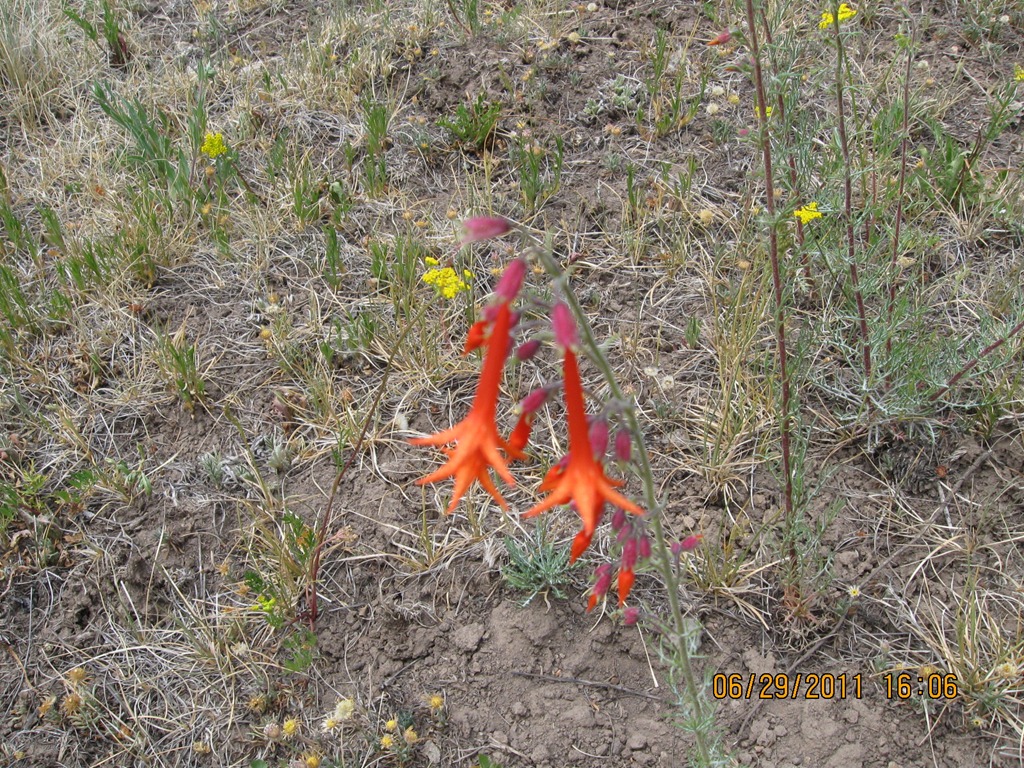
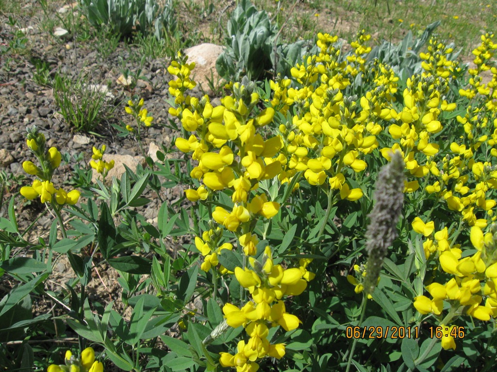
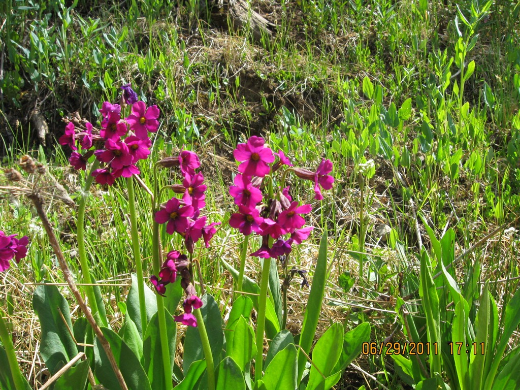
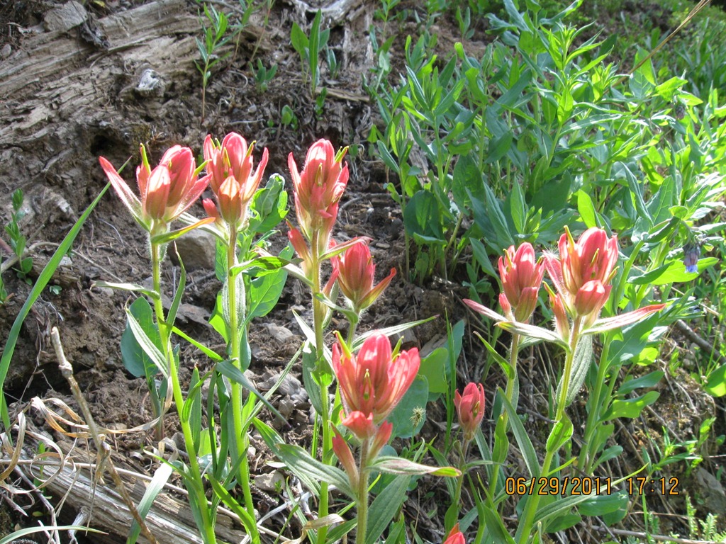
On this trail as well as the remainder of the trip we got pictures of flowers – everywhere.


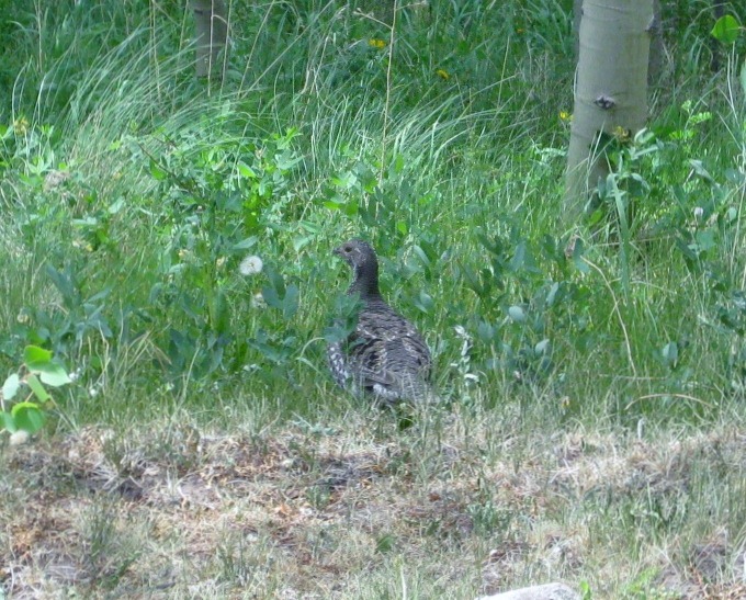
 We saw this Ptarmigan but was a bit late getting the camera to the proper spot.


We didn’t make it to Blowout pass but will have to try that next trip…

On the way back down we came through this huge stand of Aspen. These trees were over 50 feet tall and very straight.

We saw the HOLY ROCK..

This amazing sign, never saw one like that before and it was correct!

And, I could not resist this advertisement… we saw a lot of similar properties out here? most way over priced…

We got back to the motor home chilled and had supper. what a trip that almost didn’t happen. – WD0AJG